We traditionally paddle a section of Turtle Creek near Delavan, but a Facebook Group got us wondering about other eastward sections. We set out to see which launches would be good for us quiet paddlers.
It was too hot for us to paddle – dew points above 70 – going to a movie was tempting. Oh, wait… no can do during Covid. Thus we decided to take a Sunday drive and check out some Turtle Creek launches for future paddles.
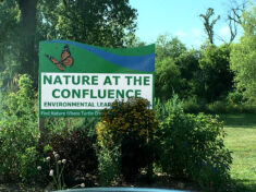
Nature at the Confluence in Beloit
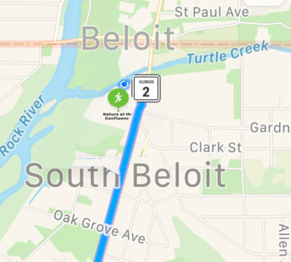
First, Nature at the Confluence in Beloit, about 50 minutes by interstate or 90 min by smaller roads, through Evansville and Orfordville. 306 Dickop St. South Beloit, IL
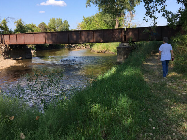
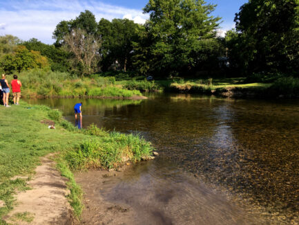
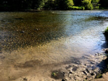
We have been curious about Nature at the Confluence (map, map2), where apparently a lot of Turtle Creek paddlers take out. We won’t be doing that this year, as it appears we would have to get out in the creek and haul the canoe up about 3 feet onto the vertical bank. According to a sign in the parking lot, recent floods have eroded the banks quite a bit. We walked around the grounds which are very nicely maintained and watched some young women wading and lounging in the creek.
“From Sweet Allyn Park to Nature at the Confluence. (about 5 hours) Scraped bottom enough times, but the water was astonishingly clear!”
The Confluence is often a take out but there is some talk about using it as a put-in “Great paddle from the confluence to Macktown. We had the river to ourselves. … It took us 3+ we didn’t paddle all the time. Some good current spots allowed you to just steer other spots you had to paddle. There’s a few sweeper so you have to pay attention and steer clear but nothing bad.”
and “The Rock River from Nature At The Confluence to Macktown Forest Preserve boat ramp is just a beautiful trip. … quiet, without boat traffic, and deeply wooded. Six mile paddle traces the route fur traders used back in the day when the Rock River acted like a Commerce Highway. You need to portage the spillway at the Rockton Dam, but it’s a quick take out and put in. The current this week (Aug 20 2020 post) allowed for slow and easy paddling. Low water levels at Turtle Creek allow for easy launching at Nature At The Confluence and there’s always plenty of parking. Be sure to check out the paddle map and familiarize yourself with the portage.”
Lathers Rd bridge
Next, we drove north to check out the one-lane metal Lathers Rd bridge. No access here that we could see.
Sweet Allyn Memorial Park
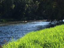
On to Sweet Allyn Park, Beloit, WI which was busy on this muggy afternoon with paddlers, tubers, waders, picnickers, and fishermen. Restrooms with pit toilets were open. The landing area is large, shallow and gravelly; and one might have to get out in the creek and pull or carry the canoe up onto the shore. This wouldn’t be too much of a problem. From 140 bridge this is about 3 hours.
Turtle Creek Parkway / Smith Road Bridge
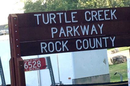
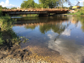
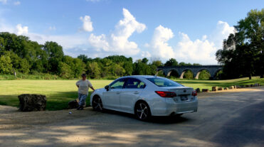
It’s a 3-min drive to the next landing at Turtle Creek Parkway, 6528 S Smith Rd. Clinton, WI where the bridge is being replaced. There is a sizable parking area and a nice sand/gravel shallow landing area, no facilities. The stunning Tiffany Stone Arch Bridge is here. A couple and their two young kids were preparing to tube to Sweet Allyn Park, which they said would take about 30-40 min. Some canoers who were packing up said they had started at Highway 140 and that it had taken them about 3 hours without much paddling, so it would be more like 2.5 with a little effort..
Highway 140 bridge
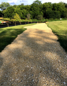
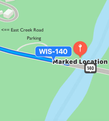
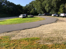
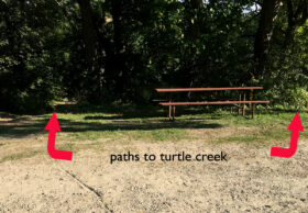
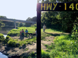
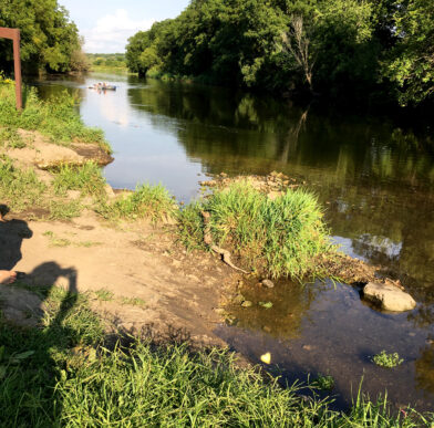
It was 6 minutes to the next landing at 5371 Highway 140, Clinton, WI bridge where there is a large parking area, obviously well used, a picnic table and a dirt path and a grassy path to the landing (take the grassy path – less steep). No facilities. A friendly, very tired young man explained that he was waiting for his group of 16 to arrive. They had started from School Section Rd about 5 1/2 hours earlier. They were expecting a paddle of an hour and a half or so. This affirms our commitment to compulsive “over-planning.”
For reference, the flow at Turtle Creek Carver’s Rock gauge was ~106 cfs on August 23, 2020 (76th – 90th percentile). Based on a number of sources, experienced paddlers consider this level low but doable. The young man above said that there were no obstructions that were not easy to maneuver around since the current was slow and that the water was exceptionally clear.
Much information and videos of the various Turtle Creek segments are available on milespaddled.com.

