We paddled Jaeger Park to Fish Camp / Lake Kegonsa this spring, and we thought it would be fun to introduce this segment of the Yahara to two more friends. A few days later, we checked out the walking paths around Thurn Marsh & Indian Mound Parks.
First the paddle, then below is about the park paths.
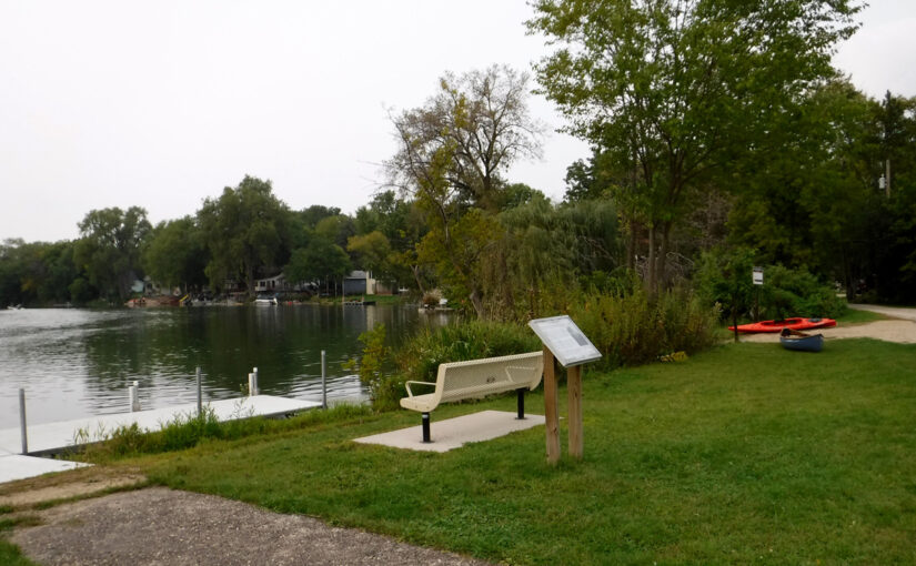
The Put-in
It’s a nice gravel put-in, but this day the water right at the launch was so choked with algae and duckweed that we were resigned to having our boats slimed. Fortunately, a wave runner came in as we were unloading. As we watched, the rider jumped off about 15 feet from shore and disappeared under the water. He looked very surprised when he surfaced! He must have noticed us looking at him incredulously, because he explained that he hadn’t expected the water would be that deep. We waited as he and his crew pulled the wave runner onto the trailer and out of the water, anticipating that they would clear a nice path through the muck. They were pretty horrified that not only had the jet ski been slicked with a coating of algae and duckweed, but the trailer had raked out a massive amount of underwater vegetation that was now hanging off the bottom of the trailer. We were kind of thrilled and launched into a nice clear channel.
The Paddle
The sun is setting earlier as fall approaches; these paddle-after-work excursions will be ending soon. Katia had to arrange to get off work early which is always tricky. One should count on a minimum time of about 1 hr 45 min for this paddle from launch to take-out, with extra time of course for the shuttle.
As we were launching we noticed a small fish on the shore. One of us picked it up and eased it back into the water, hoping it was able to gather its strength and swim free.
Near the rustic road bridge (E. Dyreson Rd), we were lost in our own thoughts when a large bird flew across the river in front of us. We had seen several herons up to that point, but this was no heron. The 3 of us who saw it agreed that it was clearly a turkey. Phyllis was looking off to the side and didn’t see it, although it can’t have been much more than 10 feet from her at about eye level. We’ve never seen a turkey on the river and were surprised it could fly that far. Sources we consulted report that wild turkeys can fly between 100 to 400 yards.
After take-out, we had a great view of the setting sun, a bright red-orange due to smoke from the western fires.
At the take out, the purple martin houses were empty.
Much more details about this paddle route can be found on our Yahara River category posts.
Paddle Photos
")
")


")
")


About the Path(s)
We have been curious about the small indication of a walking trail at the paddle launch which starts to the right of a house self-labeled “Asshole Alley”. There are three connecting properties in the area, each property seems to be managed by different entities.
The overview can be seen via satellite map: Conrad Jaeger Park, Thurn Marsh, Indian Mound Park. Online maps shows the Thurn Marsh trail but not the Jaeger Park entry spur nor the Indian Mounds Park trails. At the bottom of this page we moshed a couple of maps together as best we could to give an idea of the trail layout. Walking at a slow pace, it took us about an hour to cover the area in wander-around fashion. It should be noted that there was no path into the marsh that we saw, nor did we see any signs marking Thurn Marsh – even at the information kiosk at the corner of Exchange Street & Highland Drive. One thing we did see though was a fire hydrant in the woods on the Jaeger trail/ must be some history there.
The Boy Scouts and Girl Scouts have a presence in this area. The Boy Scouts have put up informational signage, and the Girl Scouts have put up owl boxes.
- Introduction to Conrad Jaeger – Know Your Parks
- Restore Plan from 2009 Vegetation Has Obscured the Mounds
Path Photos

")


Trail map: to the best of our abilities…
