This launch is quite close to Madison. Must paddle downstream first. The turn around from our paddle was oh so very Stoughton. Saw lots of birds.
First time
Funny how we don’t always know what boat launches are close at hand. I noticed this one at Viking Park (map, info) in Stoughton while looking for something else on an online map. Since we have had some negative experiences on the Yahara River, we don’t usually venture south of Lake Kegonsa – we did recognizance before trying it out.
The Launch
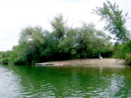
“Viking Park Launch, Stoughton” or “Viking Park Landing, Stoughton” is easy to find on GPS – it’s at the juncture of B and N. It is well-marked and easy to find. The parking lot is nice and there is a circular drive to bring the canoe right down to the water. The launch is like a sand / gravel almost like a beach – the water is clear and pretty. Can’t ask for anything better.
The Paddle
We don’t like to paddle downstream first because it is often hard to judge fatigue level. The upstream didn’t look all that interesting because pretty soon there is a lake-like area – we could try it some day though. To make sure that on this day we knew what effort we were in for, we first turned north / right under the B bridge to test out the flow and noted the time. We were undaunted.
Going downstream the long skinny Viking Park is on the left. There are two, yes two, dog beaches. We enjoyed watching a black lab fetch a ball a few times as we floated by. In the spring, in higher water it might be possible to go around the islands of the park. Something else to explore in the future.
After the park, eventually there is a wide lake-like area. We eventually discovered that the main channel is to the right (east) and it would have been less of a slog if we had been in it. But that wide area entertained us both-ways with many birds.
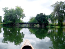
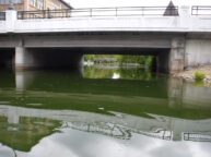
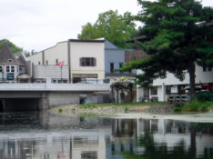
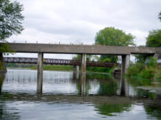
There is a bridge with a caution sign where the river narrows again. Luckily it didn’t say “dam” but warned that it is “low overhead clearance”. It is a pedestrian bridge for fishing and is part of the Yahara River multi-use Trail. There is soon a second, less scenic, concrete railway bridge.
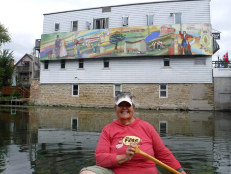
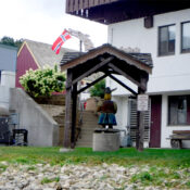
Then lots of houses, gardens, various piers and boats can be seen into the city of Stoughton. We planned to turn around at Forton Street bridge just after the water utility building but decided to go down a little farther right in town. It was oh-so-Stoughton there. A big mural about Nordic heritage on the left. On the right a Senior Center building with a Viking sculpture, dragon, and Norway Flag.
That finally cleared a mystery of where they rent kayaks. We had seen this area from the street as pedestrians and couldn’t tell. The rental launch is surprisingly not that great but I guess it works well enough for them.
It was totally fun to see the city from a different aspect. We turned around at the Main Street bridge by the mural. We resisted temptation go down to one more bridge. We knew from our recon that eventually we would end up at a dam with no great take out.
As far as we know there are no great take out points to do a shuttled paddle. We could manage to get out by the water works if we brought some weed clipping tools (see photos).
The way back was all about birds watching. It wasn’t difficult to paddle upstream on this day.
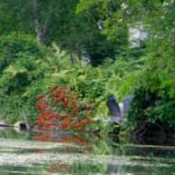
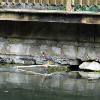
Wildlife: Herons, egrets, green herons, gulls, hawk, owl, morning dove, red-winged blackbirds, and other birds commonly seen in our area.
Photos:
Drive: 30 min via 51
2:26 put-in paddle upstream at B bridge to the wider area
2:33 turned around
2:39 downstream at B bridge (end of flow test)
3:26 turned around downtown Stoughton (mural)
4:30 take-out
Drive: 30 min via N thru Cottage Grove (best)


