The Setting:
We have paddled the Crawfish between Aztalan and Jefferson a few times and wanted to try an upstream section. Low water levels have caused grounding problems for us on this river, so we picked a day when the levels were on the higher side-a sunny windy Saturday afternoon with temp around 70.
Flow
Water level: 650 cfs at Milford gauge #05426000 Median for this date is approx 270 cfs
Launch
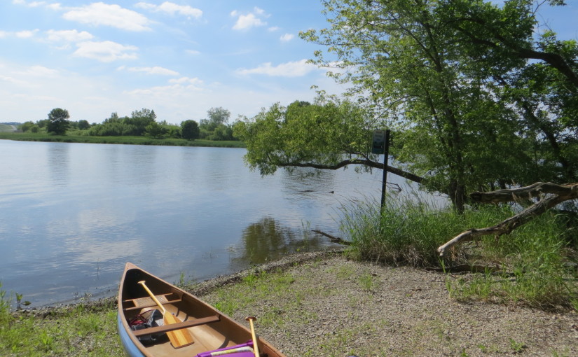
Put-in/Take out: at the end of Olson Rd, 1 mile downstream from Hwy 19 bridge. Nice gravel landing with a sign reading “Glacial Heritage Area Watertrails Put In/Take Out 35” Parking for 3-4 cars, no facilities.
The Paddle:
We put in at 4:30 and paddled downstream approx 3.5 miles and turned around at 5:50 and took out at 7:00. Minimal current. The river was very wide and open, and it was hard to paddle at times against a strong headwind on the downstream portion. On the return trip the tailwind was helpful, but I was tired and glad to reach the takeout. We passed a huge RV park at the start, and after that the surroundings were more remote. The banks were low, and there was no shade. The river looked to be a bit more scenic downstream from where we turned around. According to the google map we passed Faville Prairie State Natural Area and Martin and Tillotson Prairies on the east side of the river just before turning around.
Wildlife:
We noted there were herons and swallows. On the way to Watertown to check out put-ins(no good prospects), we saw sandhill cranes, deer and turkeys in a field.
Ended at some wildlife park
Pictures


