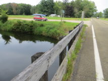
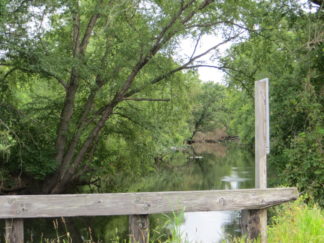
Friends who know we are not adrenaline junkies have recommended Neenah Creek to us LOL paddlers. Since a number of the Neenah Creek trips posted online show riffles, rapids, rocks, logjams, ledges, culverts and wires strung across the creek, we decided to check out the creek ourselves on the way to a Tuesday afternoon paddle on the Fox River north of Portage.
As a reference, flow for Fox River at Berlin on Aug 15: 1130 cfs (median ~700 cfs)
We checked out 4 sites. In the order of attractiveness to us, they are:
- Public landing off Big Slough Rd.
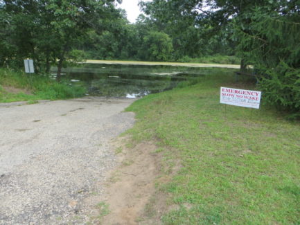
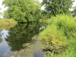
This landing is actually on Big Slough Creek which flows into what I believe is Neenah Creek at or near the point where the South Branch also enters. Follow County Rd X to Menominee Rd and turn east. Where Menominee Rd T’s into Big Slough Rd there is a large public landing with a concrete ramp, picnic table and plenty of parking. No bathrooms. It’s obvious that big boats put in here, so the creek must be quite navigable. There is currently a sign indicating the Big Slough Creek is “no wake” at this time. Flow looks quite sluggish. There is some duckweed and other surface vegetation but much of the channel looks pretty clear. It is described as having “ok current, clear water and a sandy substrate” by an unknown author who posted a report in a word document titled “A More Obscure Branch of Neenah Creek” on portagemuseum.org. The date of the trip is not stated-might have been 10+ years ago. The author also adds “Prior to the final Big Slough Landing, there is the Hwy X bridge (a mile upstream). This could work with parking, but the launch area is poor. Continuing past the public Big Slough ramp, you can take out on Neenah Creek. It’s not a fast creek (at least not this far south), so you could probably paddle upstream to the Grouse Drive bridge, about 1.5 miles–a good bridge access area that is kind of secluded. Just be careful to not paddle up the “south branch” of Neenah Creek by mistake, or you’ll end up in Briggsville. A better Neenah Creek option after the Big Slough mouth would be to head down a couple of miles to where Muskrat Road crosses Neenah Creek. This is a popular launch with great parking and a good launch area.” - Bridge on Muskrat Rd.
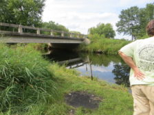
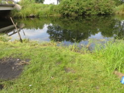
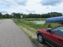
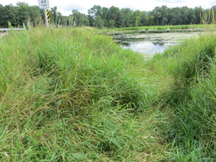
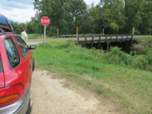
Route from the north is off Grouse Dr. Turn south on Stevens Rd (called “5th Ct” on googlemaps) which turns into Muskrat Rd. There is room to park about 1 car on the shoulder. I wouldn’t describe it as having “great parking” or a “good launch area.” (see above) I would describe the launch area as “acceptable.” There are grassy, marshy banks which are not too steep on both sides of the road, one upstream from the bridge, the other on the downstream side; I think we could put in either place. We might have to duck going under the bridge, and in higher water the canoe might not fit. The creek here looks marshy and wide. Reportedly this is private property but the owner does not object to paddlers using the landing (according to wisconsinrivertrips.com, a great resource) - Bridge on County Rd CX.
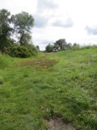
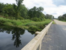
This is a fairly busy road. There is a pull-off area on the east side of the road, room for one or two cars. You might be tempted to drive down a few feet of crumbling asphalt and park in a flat area down by the creek bank, but you’d have to pick your route carefully and it would be unwise if muddy. On second thought…no, just stay on the side of the road. The put-in itself looks OK, and the creek here has a nice tree canopy, no obstructions as far as we could see, with decent flow but not so swift as to prevent upstream paddling. - Bridge at intersection of Dixon Rd and County Rd CM.
Not a landing for us! Banks too steep and overgrown.
NOTE: we drove over the South Branch of Neenah Creek on 3rd Ave off Highway X. The creek runs through a large culvert, and we would probably want to avoid any route that goes through a culvert. It didn’t appear to be a usable put-in or take-out in any case.
